
Route Summary
 This is a moderate hill and forest walk in a very scenic area popular with mountain bike enthusiasts. The route takes in an ancient stone circle, some very fine views, near and far, and an unusually large boulder left over from the last Ice Age.
Duration: 2.75 hours.
Route Overview
Duration: 2.75 hours.
 Transport/Parking: No public transport nearby. Leave the A944 at Tillyfourie joining the B993. After about one mile, turn left at the sign for the Whitehills Cycle Trails, then left again in about half a mile for the car-park. here is a good rough-surfaced car-park at the walk start/end point.
Length: 7.010 km / 4.38 mi
Height Gain: 266 meter. Height Loss: 266 meter.
Max Height: 360 meter. Min Height: 200 meter.
Surface: Moderate. A mix of good forest roads and woodland paths. The path that descends from the White Lady summit is steep and stony in places. Paths can be muddy in places due to mountain-biking activity. Not suitable for off-road mobility scooters due to steep and stony narrow paths, and wooden bridges, sometimes narrow, with high steps.
Difficulty: Medium.
Child Friendly: Yes, if children are used to walks of this distance and overall ascent.
Dog Friendly: Yes, but watch out for mountain bikers.
Refreshments: Options in Monymusk, Kemnay and Alford.
Description
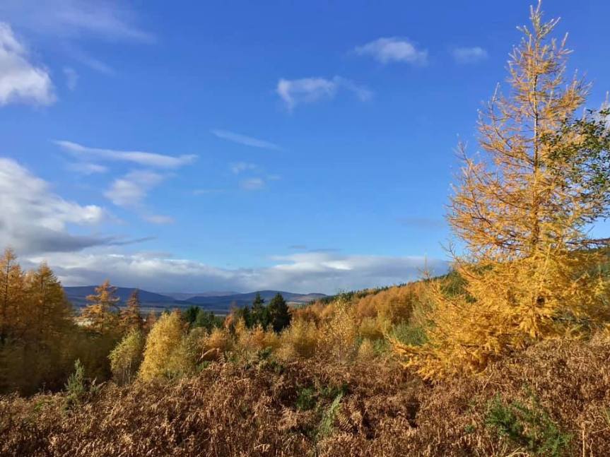
 This very enjoyable and varied route takes in a mix of forest and moorland environments with some fine views in places, and especially on the ascent and descent of the White Lady hilltop. The walk starts and finishes along the main forest road at the base of the Menaway Hills – Pitfichie, Cairn William, Green Hill, and White Lady being the main tops on the range. There are a number of popular mountain-biking trails in the area – so be aware that you may encounter trail-biking enthusiasts throughout the route. About 1.5 km into the walk, the impressive Whitehill Stone Circle is reached. This late Neolithic stone monument, as with the many other recumbent stone circles found in the NE of Scotland, was probably constructed and used for ceremonial purposes during the second and third millennia B.C. Most of the upright stones have fallen, but the west flanker stone to the recumbent still stands, as does an upright to the NW of the circle. The raised low cairn and pit within the circle are still very obvious, possibly the site of cremation burials. At various points along the base forest road marvellous views open up of the farmland and forests in the Monymusk area, to the east. Climbing up through the woodland to the ridge between Green Hill and White Lady, there is attractive open moorland on the western slopes. From this position, and during the final ascent and descent of White Lady there are great views down to the fertile Howe of Alford. In addition, there are magnificent sweeping views further to the west. On a clear day you can easily pick out the following prominent hill-tops: Mount Keen; Lochnagar; Morven; Buck of Cabrach; Ben Rinnes. During the return leg, in open forest, the route passes an impressive natural feature, the Balvenie Stone, a so-called “erratic” giant boulder deposited by melting ice sheets after the last Ice Age.
Links:
Photos from walk
Download Route Guide (PDF with illustrated Waypoints)
Download GPX file (GPS Exchange Format)
Access Walk on OutdoorActive
Access Walk on OSMaps
Access Walk on Alltrails
Access Walk on Wikiloc
