Route Summary
 At just over 10 km, this is a fine half-day tour around the valley (“Strath”) of the River Isla near Keith. The walk takes in places of historical interest, and follows an old turnpike road for some of the route. There are good views of rolling farmland and surrounding hills.
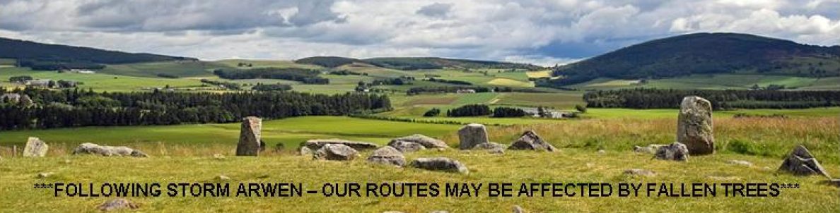
Duration: 3.5 hours.
Route Overview
Duration: 3.5 hours.
 Transport/Parking: Frequent Stagecoach bus and Scotrail train services pass through Keith. Check timetables. Free parking in Regent Square at the start/end of the walk.
Length: 11.240 km / 7.03 mi
Height Gain: 206 meter.
Height Loss: 206 meter.
Max Height: 198 meter.
Min Height: 126 meter.
Surface: Moderate. Mostly on tarred surfaces on minor roads or good tracks. The section between Waypoints 10 and 11 is overgrown and appears not to be maintained. In summer the grass is high.
Child Friendly: Yes, if children are used to walks of this distance and overall ascent.
Difficulty: Medium.
Dog Friendly: Yes, on lead on public roads and near farm animals.
Refreshments: Options in Keith. We can recommend the Boogie Woogie Cafe in Regent Square at the the start/end of the walk.
Description
 This is an enjoyable rural walk in the valley of the River Isla to the south-west of Keith. Much of the route is on the flanks of the low hills that surround the Strath so there are often wide-open countryside views to appreciate. The walk starts and ends at Regent Square in Fife-Keith, to the west of the main centre of modern-day Keith (“New Keith”, itself established as a “new town” in 1750). The Earl of Fife developed Fife-Keith in 1817 as a planned settlement to support a growing agricultural and textiles local economy. It was set out in a formal arrangement around a central point at Regent Square. It was originally going to be named Waterloo (after the battle)! This patriotic flourish in nomenclature was not sustained, although street names such as Regent Street, Wellington and Nelson Terraces, Victoria Place and Alexandria Road make reference to jingoistic glories. Initially, the route descends to the Auld Brig over the River Isla, at the heart of the original “Old Keith”, established around 700 AD. Around this time the Monks of St. Maelrubha arrived from Applecross to build a chapel called Kethmal Ruf and today a latinised version of the name lives on in the Church of St Rufus. The River Isla could be forded by cattle at Old Keith and this gave rise to the “Great Simmareve Fair”, predecessor of today’s Keith Show, when traders from Glasgow to Orkney congregated in Keith for the sale of black cattle and horses. The Auld Brig of Keith was built in 1609 and is one of the oldest bridges still in use in Scotland. Daniel Defoe crossed it in 1706 and declared it “a fine bridge”. Next stop on the route is the Strathmill Distillery, originally an 18thC corn-mill which, today, contributes its malt whisky output to the J&B Blend. Much of the remaining outward route follows the Old Toll Road to Dufftown before we turn back at Mill of Towie, a fully restored (but not operational) A-listed early-mid 19thC mill with an elegant pagoda-louvred cupola to the kiln.
Links:
Photos from walk
Download Route Guide (PDF with illustrated Waypoints)
Download GPX file (GPS Exchange Format)
Access Walk on OutdoorActive
Access Walk on OSMaps
Access Walk on AllTrails
Access Walk on Wikiloc
