
Route Summary
 An energetic upland walk on grassy woodland paths and open moorland with a reasonably demanding overall ascent of 300 m. There are wide-ranging views from the summit of Black Hill, at the quieter, less-visited western end of the Bennachie range.
Duration: 3 hours.
Route Overview
Duration: 3 hours
 Transport/Parking: There is a Stagecoach #422 service between Insch and Alford that passes the start point. Check timetables. The rough access road to the Corrie Hill woods is on the right, 2km from the x-roads at the eastern end of Keig, on the B992 road to Auchleven (Premnay). There is space to park near the entrance, and also at the nearby walk start/end point.
Length: 6.820 km / 4.26 mi
Height Gain: 301 meter.
Height Loss: 301 meter.
Max Height: 171 meter.
Min Height: 430 meter.
Surface: Moderate. Mainly a mix of grassy conifer plantation tracks and forest/moorland roads. The path from Waypoint 8 to the Black Hill summit can be very muddy in places.
Difficulty: Medium.
Child Friendly: Yes, if children are used to walks of this distance and overall ascent.
Dog Friendly: Yes.
Refreshments: Options in Alford and Insch.
Description
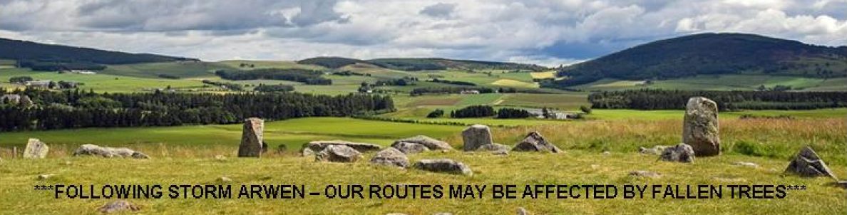
 This very enjoyable but vigorous walk makes a fairly relentless ascent on grassy forestry paths, moorland roads and boggy paths to one of the quieter and lesser known taps on Bennachie. The climb is amply rewarded by extensive views in all directions. At 431 m high, Black Hill is one of the lower summits on the Bennachie range and lacks a distinctive granite peak. It overlooks both Keig and Auchleven (Premnay), on the western edge of the range, which provides it with a marvellous immediate viewpoint over the Howe of Alford, the nearby Menaway Hills and back towards the higher Bennachie tors, with Watch Craig and Hermit’s Seat particularly standing out. Looking further east, over the northern shoulder of Brimmond Hill, you can identify a set of high-rise flats in Aberdeen! Facing the other way, on a wider panorama, Mount Keen, Morven, the Buck of Cabrach, Ben Rinnes, Tap O’Noth, Foudland Hill and Tillymorgan are prominent. There are also good views down to the Hill of Airlie to the immediate south-west. Here, a patchwork of fields lead up to a wooded hilltop. On the summit, hidden in the trees, are the remains of an Iron Age hill-fort, with double defensive rings, known as the Barmkyn of North Keig. An upper section of the outward route follows part of the Gordon Way, an 18 km way-marked linear route that runs from the Esson’s car park at the Bennachie Centre, near Chapel of Garioch, to the Suie Road, above Clatt and Alford. Unfortunately, due to financial cutbacks, the trail is no longer being maintained. The Bennachie ridge stretches west to east for 8 km with many taps or peaks, and is a popular destination for walkers. Most of the Bennachie range is owned by Forestry and Land Scotland, which supports a network of paths on and around the hills, several car parks and a visitor centre. A volunteer group, the Bailies of Bennachie, helps with this work and with other environmental and archaeological activities on the hill. See: https://bit.ly/3mXFaQr and https://bit.ly/3nYR39Q .
Links:
Photos from walk
Download Route Guide (PDF with illustrated Waypoints)
Download GPX file (GPS Exchange Format)
Access Walk on OutdoorActive
Access Walk on OSMaps
Access Walk on AllTrails
Access Walk on Wikiloc
