
Route Summary
 A fine leg-stretching forest walk in the pine and birch woods above the National Nature Reserve Visitor Centre at the popular Muir of Dinnet location on Deeside. The ascent to the rocky summit of Cnoc Dubh is rewarded by good westerly views.
Duration: 2.5 hours
Route Overview
Duration: 2.5 hours.
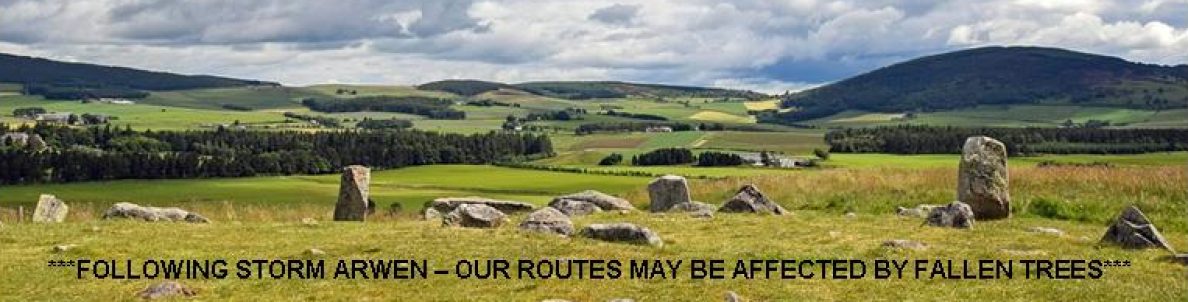
 Transport/Parking: No public transport nearby. From Aberdeen, follow the A93 Aberdeen to Ballater road, which passes through Dinnet. The main car park is at the Burn O’Vat visitor centre, 6 kilometres from Dinnet. Head south-west on the A93 for 4 kilometres, then turn onto the B9119. There is a car-park at the walk start/end point. Arrive early if at all possible. The car-park is typically very busy. If the car-park is full be sure to have a Plan B for your day and move on!
Length: 6.560 km / 4.10 mi
Height Gain: 231 meter.
Height Loss: 231 meter.
Max Height: 329 meter.
Min Height: 173 meter.
Surface: Moderate. On good paths and forest roads. May be muddy in places.
Difficulty: Medium.
Child Friendly: Yes, if children are used to walks of this distance and overall ascent. Please take especial care in approaching Waypoint 13, a precipitous vantage point above the Burn O’Vat gorge. Keep children well clear of the edge.
Dog Friendly: Yes, on lead on public roads.
Refreshments: Options in Ballater, Aboyne and Tarland.
Description
 This is a pleasant forest walk in mature pine and birch woodland with two sections of vigorous ascent on the outward leg. Watch out for the large ant-hills in this section! There are good views from the summit of Cnoc Dubh (“Black Hill” in Gaelic) to Pannanach Hill and Mount Keen in the south-west and, to the west, Craigendarroch (above Ballater) and Lochnagar. On the descent, the route fords the tumbling Vat Burn before making a diversion to a precipitous vantage point above the Burn O’Vat gorge. Close to the end of the walk, the route passes a viewpoint to Loch Kinord, with information boards. The route is within the Muir of Dinnet National Nature Reserve, part of the Cairngorms National Park. The Reserve extends 1166 hectares from the River Dee to Culbean Hill, and encompasses a wide range of habitats including dry heath, raised bog, woodland, and lochs. Before, or after, the walk, we suggest a visit to the interesting NNR Centre, and a short excursion to the huge Burn O’Vat stone pot, entered via a narrow gap in the rock formation with running water at your feet. The Vat, a geological oddity with an interesting local history, is a popular short walk signposted from the Visitor Centre.
For more information about the Muir of Dinnet National Nature Reserve see: http://bit.ly/3a0B9Id
Links:
Photos from walk
Download Route Guide (PDF with illustrated Waypoints)
Download GPX file (GPS Exchange Format)
Access Walk on OutdoorActive
Access Walk on OSMaps
Access Walk on AllTrails
Access Walk on Wikiloc
