

Route Summary
This is an easy walk with minimal overall ascent in a beautiful area of Deeside that possesses considerable ecological and historical importance.
Duration: 2.5 hours.

Route Overview
Duration: 2.5 hours.
Transport/Parking: Regular Stagecoach bus service along Deeside, stops at Dinnet. Check timetables. There is a Cairngorms NPA car-park at the walk start/end point. Charge at 2020 is £3.
Length: 7.150 km / 4.47 mi
Height Gain: 62 meter.
Height Loss: 62 meter.
Max Height: 180 meter.
Min Height: 162 meter.
Surface: Moderate. On good paths and tracks. Not suitable for off-road mobility scooters due to narrow paths with prominent boulders and tree routes.
Difficulty: Easy.
Child Friendly: Yes, if children are used to walks of this distance.
Dog Friendly: Yes, but keep dogs on lead near to farm animals.
Refreshments: Options in and around and Aboyne and Ballater.

Description
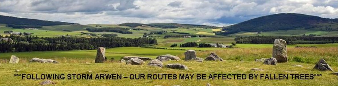
This is a very scenic walking route from the Deeside hamlet of Dinnet, skirting the shores of Loch Clarack, Loch Kinord and Loch Davan, while also incorporating a number of interesting historical features. The route is within the Muir of Dinnet National Nature Reserve, part of the Cairngorms National Park. The Reserve extends 1166 hectares from the River Dee to Culbean Hill, and encompasses a wide range of habitats including dry heath, raised bog, woodland, and lochs. Due to its shallowness, light penetrates to the floor of Loch Kinord. Consequently, many species of aquatic plants thrive, and in the summer white water lilies bloom on the loch and Blue Northern Damselflies are everywhere to be seen. A quick glance at the Ordnance Survey map reveals that a wealth of ancient sites pepper the landscape. Clearly this area has been an important place of human habitation since the ice sheets melted. The route passes Crannog Island where an Iron Age defensive crannog housed a small community. Nearby is Castle Island where it is believed there was a defensive structure since at least the 11th C. During the Civil War in 1648, the Royalist-held castle was razed by an act of Parliament. On the shore close to Castle Island the route passes a possibly 9th C Pictish stone with a cross carved in intricate knot work. A little further on, towards Loch Davan, we pass the ruined remains of the Old Kinord “ferm-toun” where the 1841 Census registered a little farming community of 22 people making their living there. Further on, between Loch Kinord and Loch Davan, there are the impressive “hut circle” remains of an extensive prehistoric settlement, believed to have been an Iron Age village. Archaeological examination has determined that the ancient settlement was enclosed by a wall and comprised eighteen structures, ten or more hut circles, cairns, walls and rows of placed stones, two earth-houses for storage, and a chambered enclosure.
Links:
Photos from walk
Download Route Guide (PDF with illustrated Waypoints)
Download GPX file (GPS Exchange Format)
Access Walk on OutdoorActive
Access Walk on OSMaps
Access Walk on AllTrails
Access Walk on Wikiloc
