Route Summary
 This is a walk of two halves. The first section is through a variety of woodland types, with some open views. The second half is mostly through an open landscape with great countryside views as far as the eye can see. The view from Brimmond Hill over Aberdeen is impressive.
Duration: 3.5 hours.
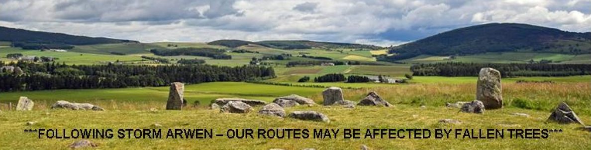
*** Note: at July 2023, there are fallen trees to negotiate at various points. The path at Waypoint 28 is badly overgrown with gorse. We suggest returning downhill on the tarred road from Waypoint 26 to re-start the route at Waypoint 29. ***
Route Overview
Duration: 3.5 hours.
 Transport/Parking: No public transport links within easy walking distance. The Brimmond Hill car-park is a small car-park at the start/finish of the walk. It is just off a minor road mid-way between Forrit Brae and the Borrowstone Road to Westhill.
Length: 9.090 km / 5.68 mi
Height Gain: 277 meter Height Loss: 277 meter
Max Height: 263 meter Min Height: 107 meter
Surface: Moderate. Mostly forest paths and access roads. Not suitable for off-road mobility scooters due to fallen trees, steps and stiles. To the summit of Brimmond Hill from the car-park, and back, is suitable (about 1.5 km).
Child Friendly: Yes, if children are used to walks of this distance and overall ascent.
Difficulty: Medium.
Dog Friendly: Yes. On lead on public roads and near to any farm livestock, especially between Waypoints 22 and 23.
Refreshments: Craibstone Golf Club bistro, nearby, is open to non-members. Otherwise, Aberdeen or Westhill.
Description
 Despite being within the administrative boundary of Aberdeen City Council this walk has many attractive rural characteristics. In fact, only the impressive easterly view from the top of Brimmond Hill over the city and down to the sea reveals how close you are to the busy urban world that is Europe’s oil industry capital. The walk starts from a small car-park overlooking a section of Craibstone golf course. Heading downhill through mixed woodland, the route then skirts the edge of some golf fairways before going deeper into the woods. The upcoming loop section in Green Wood is through mixed age conifers. The route then swings back towards the main Tyrebagger Forest, passing the Green Burn and fields separated by dry-stone dykes. The name “Tyrebagger” is derived from Gaelic, meaning “hill of the fox”. The forest contains a variety of tree types. As the Forestry Commission observe – “…there are some truly impressive trees at Tyrebagger. In the east of the forest you’ll walk under superb Douglas firs, towering above you like cathedral pillars, shading a carpet of ferns and wood sorrel. In other parts of this old forest you’ll find fine beech trees as well as lofty Scots pine and larch …”. The walk then takes a leisurely route around the western flank of Elrick Hill where the terrain is particularly natural-looking open pine forest, birch trees and heather. There is a very good view of Brimmond Hill, with its imposing communications mast, as the path swings east, highlighting your route to the summit through green pasture-land where you are likely to encounter farm livestock, probably sheep. The summit of Brimmond Hill is 266 m, the highest point within the Aberdeen City council area. As well as providing a marvellous view of the city itself, there are good views down to Kingswells, Westhill, Blackburn and Dyce.
Links:
Photos from walk
Download Route Guide (PDF with illustrated Waypoints)
Download GPX file (GPS Exchange Format)
Access Walk on OutdoorActive
Access Walk on OSMaps
Access Walk on AllTrails
Access Walk on Wikiloc
